Welcome, Mickey
mickey@disney.com
Manage MyDisney Account
Log Out
NOAA satellite image shows Northern California fires from space

Monday, October 9, 2017

NOAASatellites/Twitter
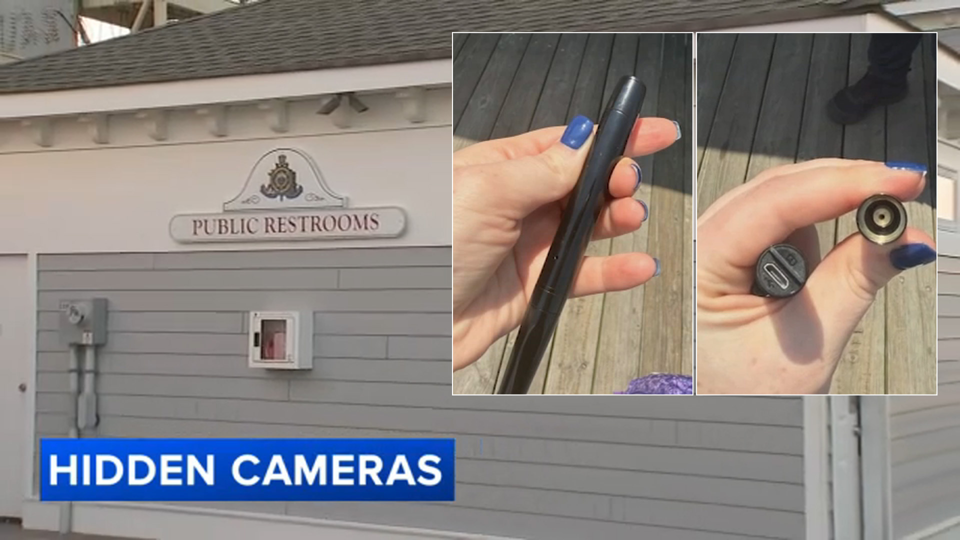
The National Oceanic and Atmospheric Administration (NOAA) shared a satellite image showing the magnitude of the wildfires that have devastated Northern California.
The image, taken on October 9 at 3:15 am PST, shows several fires burning north of San Francisco.
At least four have died from the fires sweeping across the North Bay. Over 65,000 acres across eight counties have been charred and 1,500 structures have been destroyed.


1 of 197
Rich Pedroncelli/AP Photo
Copyright © 2025 WPVI-TV. All Rights Reserved.